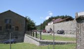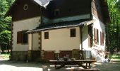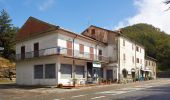

(SI L06) Passo della Calla - Passo del Muraglione
SityTrail - itinéraires balisés pédestres
Tous les sentiers balisés d’Europe GUIDE+

Length
15.1 km

Max alt
1639 m

Uphill gradient
536 m

Km-Effort
24 km

Min alt
895 m

Downhill gradient
928 m
Boucle
No
Signpost
Creation date :
2022-02-15 12:25:18.563
Updated on :
2022-03-01 09:33:45.605
5h21
Difficulty : Medium

FREE GPS app for hiking
About
Trail On foot of 15.1 km to be discovered at Emilia-Romagna, Forlì-Cesena, Santa Sofia. This trail is proposed by SityTrail - itinéraires balisés pédestres.
Description
Sentiero Italia CAI 2019
Positioning
Country:
Italy
Region :
Emilia-Romagna
Department/Province :
Forlì-Cesena
Municipality :
Santa Sofia
Location:
Unknown
Start:(Dec)
Start:(UTM)
720547 ; 4859977 (32T) N.
Comments
Trails nearby
Sogenti di Firenze Trekking - Anello Principale


On foot
Very difficult
San Godenzo,
Tuscany,
Metropolitan City of Florence,
Italy

209 km | 333 km-effort
75h 46min
Yes
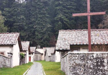
All’Eremo di Camaldoli per il crinale di Poggio Scali


On foot
Easy
Santa Sofia,
Emilia-Romagna,
Forlì-Cesena,
Italy

9.5 km | 14.5 km-effort
3h 17min
No
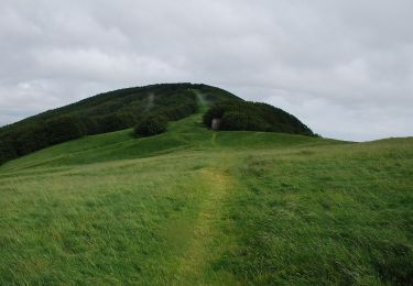
Sul tetto dell’Appennino dove gli alberi toccano il cielo


On foot
Medium
Pratovecchio Stia,
Tuscany,
Arezzo,
Italy

12.5 km | 21 km-effort
4h 46min
No
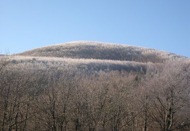
Nel cuore delle Foreste di Campigna


On foot
Easy
Santa Sofia,
Emilia-Romagna,
Forlì-Cesena,
Italy

4.5 km | 9 km-effort
2h 2min
No
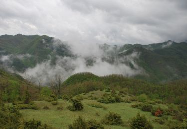
Dai prati delle Mandriacce alla Burraia


On foot
Easy
Santa Sofia,
Emilia-Romagna,
Forlì-Cesena,
Italy

6 km | 8.6 km-effort
1h 56min
No
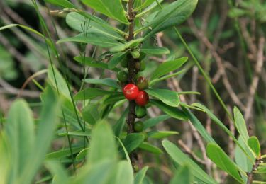
Le terre dei monaci e del Granduca


On foot
Very difficult
Pratovecchio Stia,
Tuscany,
Arezzo,
Italy

32 km | 54 km-effort
12h 17min
Yes
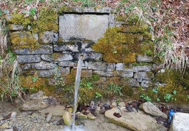
Antichi sentieri sul Bidente delle Celle


On foot
Very difficult
San Godenzo,
Tuscany,
Metropolitan City of Florence,
Italy

27 km | 45 km-effort
10h 12min
Yes
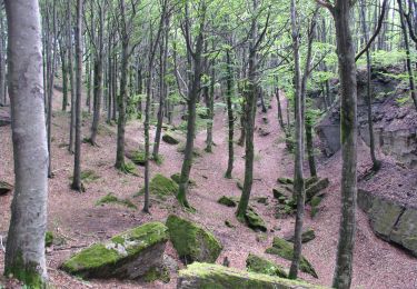
Sentiero Natura Cullacce


On foot
Easy
Santa Sofia,
Emilia-Romagna,
Forlì-Cesena,
Italy

4.4 km | 5.5 km-effort
1h 15min
No
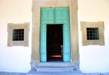
IT-257


On foot
Easy
Santa Sofia,
Emilia-Romagna,
Forlì-Cesena,
Italy

5.1 km | 8.4 km-effort
1h 54min
No


 SityTrail


